Datasets
Table of contents
- Simple geometries
- With Geometry templates
- With Extensions
- Some randomly selected cities
- CityJSONSeq examples
- Generating automatically your own CityJSON dataset
- Every buildings (~10M) in the Netherlands
- The topography of the Netherlands in 3D
Simple geometries
- cube.city.json – a unit cube
- tetra.city.json – a simple tetrahedron
- torus.city.json – a unit cube with a genus of one
- msol.city.json – one MultiSolid: 2 unit cubes that are not adjacent
- csol.city.json – one CompositeSolid: 2 adjacent unit cubes
- twocube.city.json – one object as two geometries: 2 unit cubes adjacent (sharing a face)
For different City Objects (buildings, trees, roads, etc.) and different geometries, see the latest CityJSON specifications, and to understand how the hierarchical brackets work, see this guide.
With Geometry templates
Here are 2 files with Geometry templates; more details about Geometry templates.
- geomtemplate.city.json – one simple geometry template: a “cuboid tree”
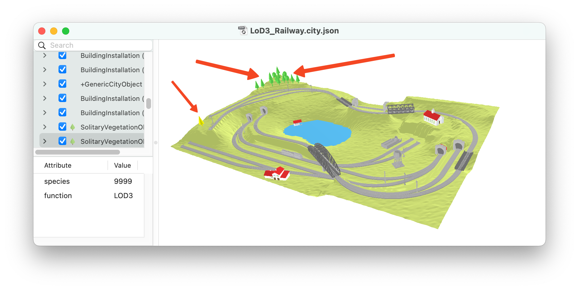
- LoD3_Railway.city.json contains several trees on the hills, all those are Geometry templates.
With Extensions
- noise_data.city.json is a demo file with the Noise extension (schema noise.ext.json), more details in this tutorial
Some randomly selected cities
Those files are openly available (see a more exhaustive list) and they were converted to CityJSON v2.0 with citygml-tools (if original encoding was CityGML-XML), and/or upgraded with cjio upgrade. Please be aware that we simply converted the datasets, some datasets contain (geometrical) errors.
| dataset | CityGML-XML file (size) | CityJSON file (size) | textures | geometric validity | details |
|---|---|---|---|---|---|
| 3DBAG | [GML] (57MB) | [JSON] (7.0MB) | none | 98% buildings valid | Buildings in LoD 0, 1.2, 1.3, 2.2; multiple attributes |
| Den Haag | [GML] (30MB) | [JSON] (2.7MB) | none | 62% features valid | 'Tile 01', Buildings (in LoD2) and Terrain are merged |
| Ingolstadt | [GML] (28MB) | [JSON] (4.8MB) | none | 70% buildings valid | Buildings in LoD3; multiple attributes |
| Montréal | [GML] (75MB) | [JSON] (5.6MB) | none | 86% buildings valid | Tile 'VM05'. Buildings in LoD2 |
| New York | [GML] (980MB) | [JSON] (110MB) | none | 99.9% buildings are valid (only 21 are invalid) | Tile 'DA13'. Buildings in LoD2 |
| Railway | [GML] (50MB) | [JSON] (4.5MB) | [ZIP] | 74% features valid | CityGML demo. Buildings, Railway, Terrain, Vegetation (with Geometry Templates), Water, Tunnels |
| Rotterdam | [GML] (25MB) | [JSON] (2.7MB) | [ZIP] | 76% buildings valid | Neighbourhood 'Delfshaven'. Buildings in LoD2 |
| Vienna | [GML] (58MB) | [JSON] (5.6MB) | none | 98.5% buildings valid | Buildings in LoD2 |
| Zürich | [GML] (2990MB) | [JSON] (293MB) | none | 76% buildings valid | Buildings in LoD2 |
On average CityJSON compresses ~7X a CityGML-XML file, and that without any loss of information (see more details).
We performed the geometric validation with val3dity and report the overall result in the column ‘validity’. To understand the errors, we suggest validating the files (how to do this) yourself.
CityJSONSeq examples
CityJSON Text Sequences—CityJSONSeq for short—is a format based on JSON Text Sequences and CityJSON.
See this webpage for data and information.
Generating automatically your own CityJSON dataset
It is possible to generate automatically a 3D city model in CityJSON with 3dfier, just follow that simple tutorial.
Every buildings (~10M) in the Netherlands
Every building in the Netherlands, automatically reconstructed. Each building is available in 3 levels-of-details: LoD1.2, LoD1.3, and LoD2.2.
The topography of the Netherlands in 3D
Every building (in LoD1.2), every canals, every road, every bridge, in 3D. In CityJSON.
Please be aware that the tiles are very big, and they will most likely bring ninja or QGIS to their knees… The solution for the time being is to use a computer with 16GB+ of RAM, and use cjio to extract only the buildings for instance.